Five apps that show what traditional Indigenous territory you’re riding through
Connect your next bike trip with the political and historical context of the land you're on
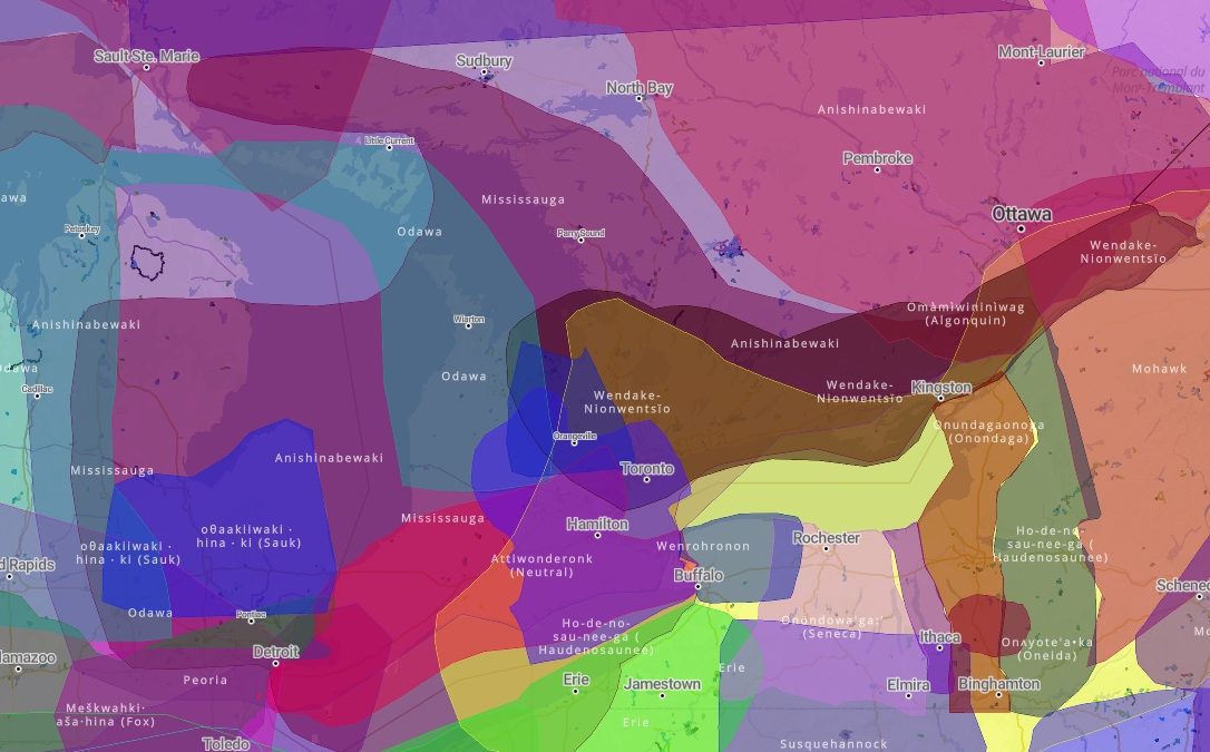 Photo by:
Trailforks
Photo by:
Trailforks
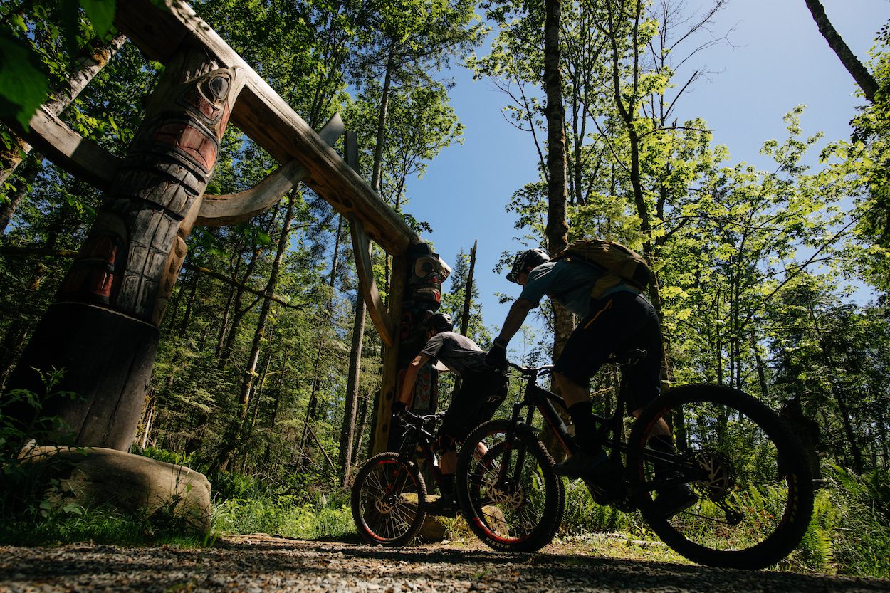
Thursday Canada’s first National Day for Truth and Reconciliation. The new stat holiday means many of us will have a bit of extra time, time that might include going for a bike ride. In Canada, any time we ride we are on traditional territory of at least one indigenous people. This is a great opportunity to reflect on how the spaces we go to recreate tie into Canada’s relationship with indigenous peoples. To make this easier, there are apps to help.
Each of the five apps below can all help reflect on the history, current context and future of the spaces where we go to recreate. Whether that’s trails, roads or gravel routes, they show where we are in relation to traditional territories, teach us more about the nations that occupy these areas and the historical context of the land.
Native Land
The most straight forward and easy to use, Native Land can be used on a desktop or as an app on your phone. The app is quite straight forward. A map shows you where you are and shows a colour graphic of what traditional territories you are on. Native Land’s website goes into more detail, including explanations of how it produced the maps and what the app means by “traditional territories.”
RELATED: How do we decolonize our mountain bike trails?
Whose Land?
The Whose Land? app also shows what traditional indigenous territories and legal areas (reserves, treaty areas, etc.) are associated with a specific place. It adds a search function – by place name and treaty – and links to more background information within the app including videos. There are more detailed educational resources on the Whose Land? website.
Indigenous BC (Indigenous Tourism B.C.)
Indigenous BC combines education with opportunities to support Indigenous tourism. As it’s name suggests, it is primarily limited to B.C. But the information about responsible tourism and travel, and other educational resources in the app, can be applied wherever you are.
Trailforks
Trailforks, the popular trail navigation app, continues to add features. It now includes separate Indigenous Territory and Land Owner overlay options in its maps, both on the app and on a desktop. The map is quite detailed and the ability to add and overlay different layers makes for interesting opportunities. The Indigenous Territory overlay shows traditional territories while Land Owners will show the boundaries and are of modern Indian Reservations. Both layers can be displayed simultaneously or separately along with trails and Strava segments.
To activate this feature select the “Layers” menu then select “Indigenous Territory” and/or “Land Owners”
Instagram/Facebook
Neither app provides much in terms of education, awareness, or even information. But both allow you to share what you’ve learned with others. Next time you post a photo of your ride, use the location tag feature or a land acknowledgement in the caption to show others what traditional territory you were on when you took the photo. Reconciliation isn’t just about learning. It’s also about starting conversations. It’s undoubtedly a small act, but if someone else sees your location tag and asks a question it could help start a new conversation about Canada’s relationship with the indigenous people we share these spaces with.