Toronto releases cycling app to help with infrastructure planning
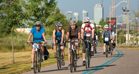
Toronto cyclists have long sought out ways to influence city planning. Now the City of Toronto has created an app for smartphones that will help city planners determine the best locations for building bike infrastructure.
“It’s part of our data gathering exercise,” said Daniel Egan, manager of cycling infrastructure for the city, in an interview with the CBC. “We’re doing a number of things to gather information on cycling in the city as we develop a new plan.”
The app enables users to track their travels by bike, and submit that information anonymously to city staff for analysis. To maintain security and privacy, a user will have to give the app explicit permission to send in data.
Toronto wants cyclists to help create a new cycling plan by using an app to track where you ride: http://t.co/2FQ0pW52Ds #mmbike #biketo
— Matt Galloway (@mattgallowaycbc) May 21, 2014
The idea for the app is based on the experience of San Francisco and a few other cities already using similar technology to inform planning of cycling infrastructure.
“Once we put all those many thousands of routes together, we’ll get a better sense of what the cycling community patterns are in the city, where the high demand is for new infrastructure, or perhaps where existing infrastructure could be better,” said Egan.
According to a statement on the City of Toronto website, the app will help planners in “determining high demand corridors used by cyclists, identifying neighbourhood links and getting a better sense of how cyclists adapt to changes to cycling infrastructure over time.”
The data is expected to inform the plans for new cycling infrastructure. That report is expected to be presented to city council in 2015.